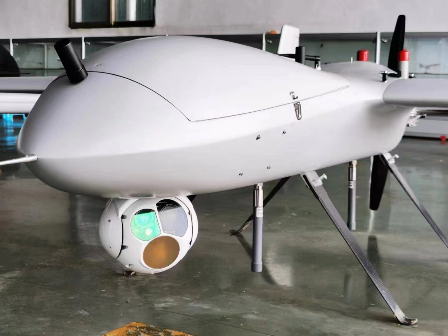
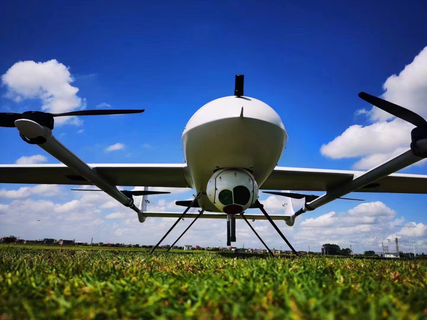
FD02N is a 30X 6KM laser ranging GPS location drone camera, using a two-axis gyro-stabilized platform, installing a conductive slip ring to achieve 360° continuous rotation, built-in 30X high-definition visible light camera, long-wave uncooled infrared imaging components, laser rangefinder, It is mainly used in airborne ground imaging detection, identification, tracking, ranging and positioning, etc., to meet the needs of aerial mapping, monitoring, and surveying.
FD02N has a compact structure, light weight, mature and reliable structure, and can be assembled on various types of UAVs and other air carriers, as well as on ships and vehicle carriers to meet the requirements of sea and air use.
Specifications:
Working band: 0.4μm~0.9μm;
Detector pixel number: 1920×1080;
Focal length: 4.3mm~129mm, optical 30x continuous zoom;
Continuous zoom horizontal field of view: 63.7º~1.1º;
Video output: network video stream, 1080P, 30Hz.
Detection distance:
Human: size 0.5x1.8m detection distance 6km, recognition distance 2km
Car: size 2x6m detection distance 15km, recognition distance 8km
Thermal
Working band: 8μm~14μm;
Detector pixel number: 640×512;
Pixel size: 12um;
NETD: 50mk;
Focal length: 50mm/F1.0;
Field of view: 8.8º×7.0º;
Video output: network video stream, 1080P, 30Hz.
Detection distance:
People: size 0.5x1.8m detection distance 1.8km, recognition distance 0.6km
Car: size 4x6m detection distance 8km, recognition distance 1.8km
Laser Ranging
Working wavelength: 1535nm;
Ranging accuracy: ±2m;
Ranging frequency: 1Hz;
Laser ranging distance: 50 ~ 6000m.
Object tracking
a) Pixel deviation update rate: 50hz;
b) Tracking speed: 30 pixels/frame;
c) Minimum target contrast: 8%;
d) Minimum target imaging size: 4×3 pixels;
e) When the target image rolls, zooms out or zooms in rapidly, it has the ability to track without slippage and loss.
lost ability;
f) It has the ability to automatically recapture the target after the short-term occlusion conditions such as clouds and ground scenes are eliminated.
System parameters
Azimuth axis: n×360° continuous rotation
Tilt axis: -110°~+10° (horizontal direction is 0°, upward is positive)
Angle measurement accuracy: ≤2mrad;
Stability accuracy: ≤100µrad (1σ) (2°/1Hz, 1°/2Hz swing);
Maximum angular velocity: ≥50°/s;
Maximum angular acceleration: ≥90°/s2
Size: ≤Φ150mm×205mm;
Weight: ≤2kg
Working temperature: -20℃~60℃
GPS Location Resolving

The advanced location calculating algorithm is used to calculate the distance of the object within 3000 meters, accurately analyze the longitude and latitude of the object, and display the on the screen. It has a great auxiliary role in the enforcement of military and police.


