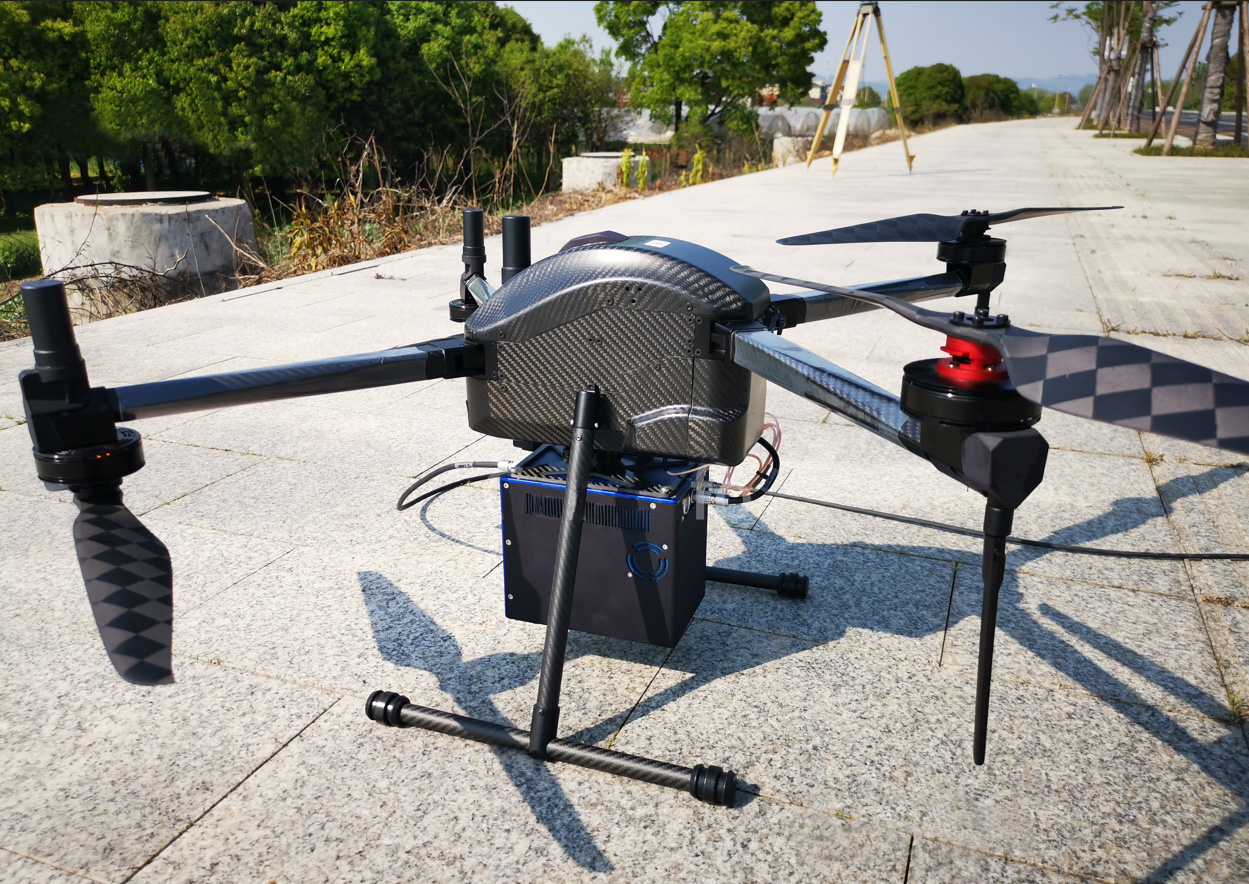
FD GLC-S is a lightweight LiDAR system featuring full automation. Mounted on small multi-drone, FD GLC-S drone lidar system automatically processes data at the speed of acquisition. Colorized point cloud and DSM are completed at landing, offering an intelligent UAV LiDAR solution with high accuracy and efficiency, but little field effort. it's very good for power line inspection, small area mapping, long corridor mapping, volumetric calculation for mining, highway design mapping, riverbank and coastal line mapping.
Laserclass:Class 1, eyesafe
Wavelength:Nearinfrared
Laserbeamdivergence angle:0.6mrad
Scanning range:200m@30%reflective
Scanning angle:60°
Pulse rate:315KHz
Point density:Upto400pts/m²
Scanning mechanism: MM(mirror less,non-rotational)
Pitch/Rollaccuracy: 0.010°
Heading accuracy: 0.025°
Recording media:Win 10systemcontroller
Storage capacity:512GB
Singlescanning swath: Upto208m
Imagesensortype: APS-C
Image resolution: 24mpwith14mmlens
Effective operating range: Conductors:85m, others:200m
Powerconsumption: 60W(Max.)
Voltage: 20-28VDC
Dimensions(LxWxH): 168mm×109mm×145mm
Weight:2.0kg
Working temperature:-20℃to60℃
Storage temperature: -40℃to70℃
1.Multi-rotor: flight altitude not more than 180m, flight speed 5-10m/s.
2. Fixed-wing: flight altitude mote more than 120m, flight speed not more than 28m/s.
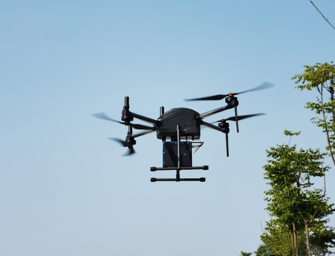
FDG815 small quadcopter dronepayloadFD GLC-S lidar system for mapping
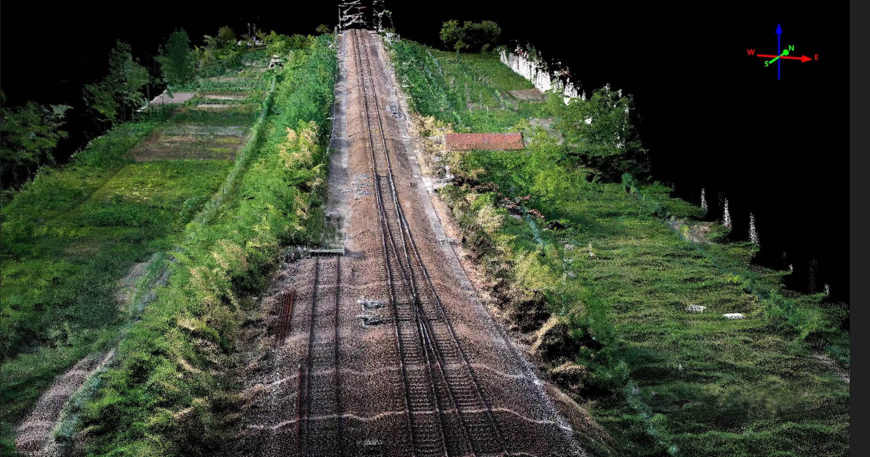
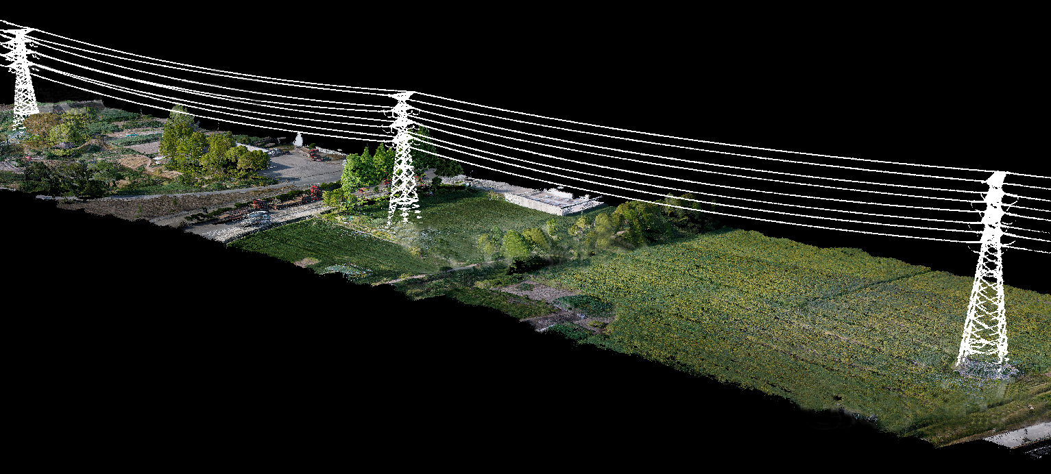
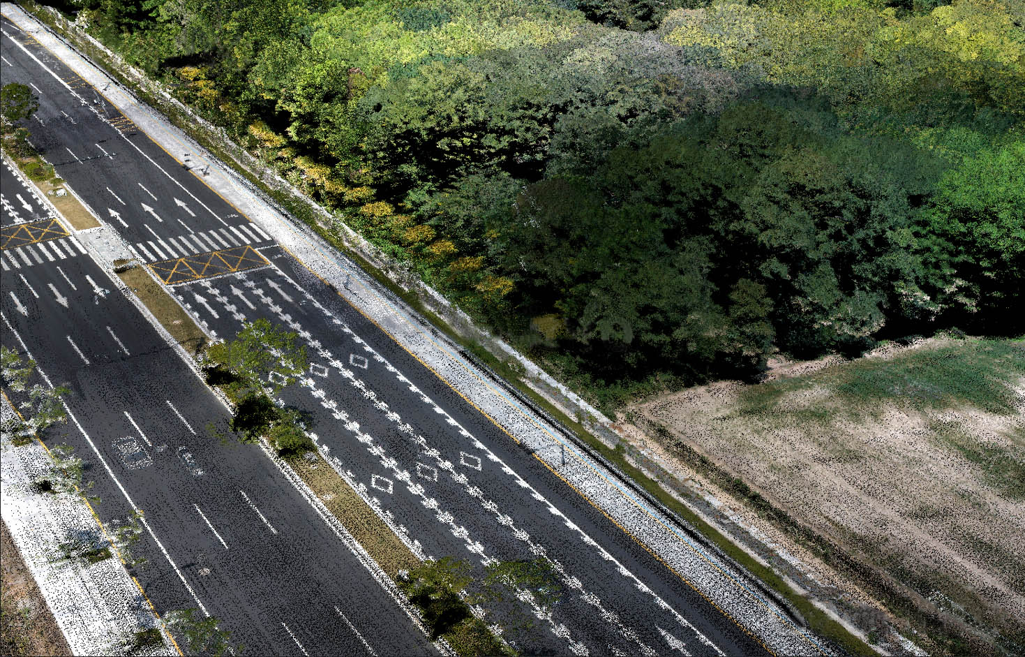
Point cloud and DSM are automatically generated after completing mission
Contact: Fly Dragon Drone Tech.
Email: frank at dronefromchina.com
Add: NO. 9 Dayu Road PiDu distric, ChengDu 611730, China