The FAA has granted special authorization to fly the aircraft out of sight within the Temporary Flight Restriction (TFR).

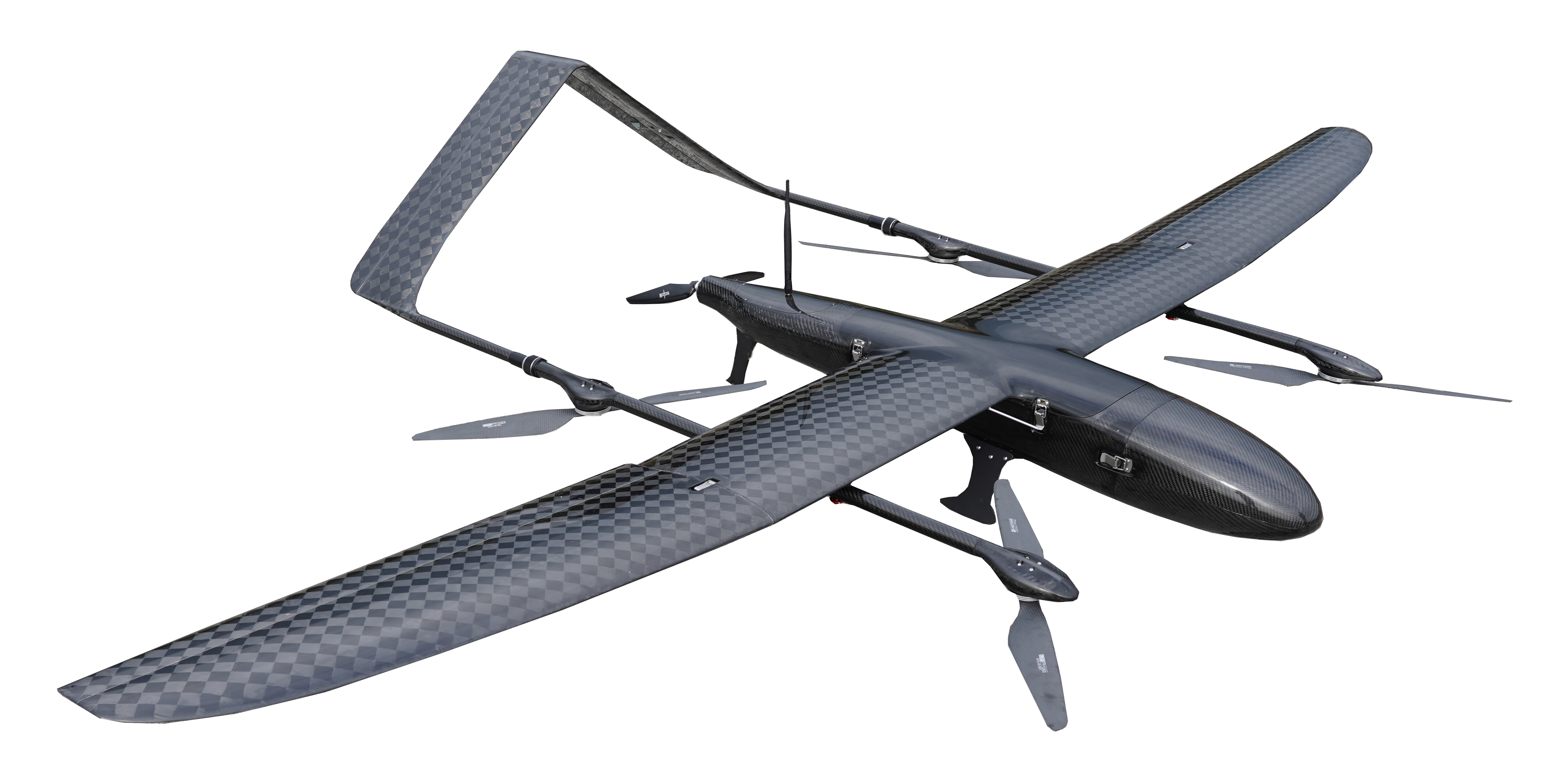
FDG30 electric long endurance VTOL fixed wing mapping drone was developed by FlyDragon Aviation UAV company, droen frame is carbon fiber mamertial, the weight of droen frame is 6KG only, FDG30 endurance is 6 hours with 1kg payload, it's the one of best VTOL for mapping&surveillance on the mraket. FlyDragon supply PNP and RTF service.
VTOL UAV 6 hours endurance with 1KG payload for survey & serveillance
Contact: Fly Dragon Drone Tech.
Email: frank at dronefromchina.com
Add: NO. 9 Dayu Road PiDu distric, ChengDu 611730, China