Emesent launches LiDAR mapping and surveying drone

Australia-based drone mapping startup Emesent announced that the company recently secured a $23 million Series A funding round. At the same time, the company released its latest survey-grade LiDAR mapping drone, the Hovermap ST.
With an IP65 rating, the Hovermap ST enables autonomous data collection in harsh environments and is suitable for a wider range of use cases.
The LiDAR payload of the Hovermap ST mapping drone utilizes a process called simultaneous localization and mapping (SLAM), in which the drone builds a map and simultaneously locates the drone in that map. The Hovermap ST Mapping Drone L eliminates "SLAM drift" and produces a highly accurate georeferenced point cloud.
Hovermap ST Drone New
Emesent ground control targets were placed in the environment and captured in continuous scans using the Hovermap ST. No need to stop or place a hovermap on the target, ensuring the capture process is as efficient as before.
Objects are automatically detected by Emesent's SLAM processing engine and used to improve SLAM results and automatically georeference point clouds to control points.
The process includes automatic constellation matching between detected targets and known measured coordinates, eliminating tedious manual work that can introduce errors.
Hovermap ST has been redesigned from the ground up with robustness and reliability in mind without compromising map quality. The rotating LiDAR can generate up to 600,000 points per second in dual echo mode, covering a near spherical field of view.
Meanwhile, Hovermap’s Tap-to-Fly autonomous capability enables guided exploration in previously inaccessible areas beyond line of sight (BVLOS) and communication range. All-round anti-collision and smart home functions ensure asset safety and valuable equipment is not damaged or lost.
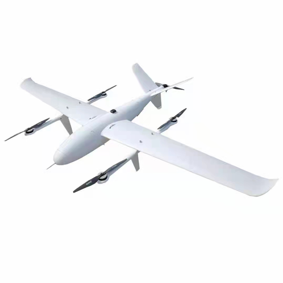
FDG35 LiDAR mapping and surveying VTOL drone


