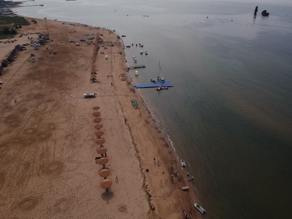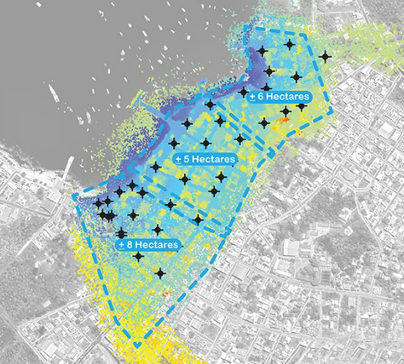

Ultimately, INOCAR asked for help creating data and digital models for the community and designers. To address the technical and engineering challenges faced by this project, Michael Luegering and Michael Tantala, senior assistants of Michael Van Valkenburgh Associates, and adjunct professors at the City College of New York were brought to the team.


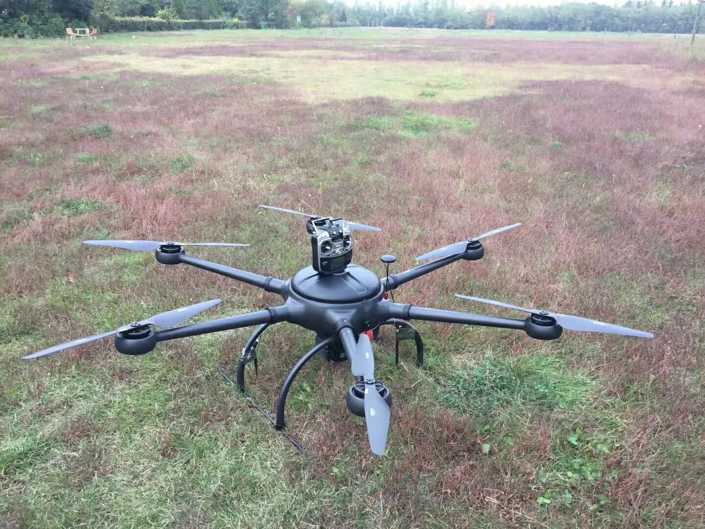
Wheelbase: 1600mm
Frame Weight: 3.8kg(with landing gear)
RTF Weight: 6.8kg(no battery)
Max. Take-off Weight: 28kg (36kg by using 8120 motor or T-motor P80)
Flight Time: 90 minutes(no payload)(4x 6s 30000mAh Li-ion battery);
70 minutes(4x 6s 22000mAh Lipo battery)
Voltage: 48V
Battery: 6S 22000mAh Lipo x4; or 6S 30000mAh Li-ion x4
Contact: Fly Dragon Drone Tech.
Email: frank at dronefromchina.com
Add: NO. 9 Dayu Road PiDu distric, ChengDu 611730, China