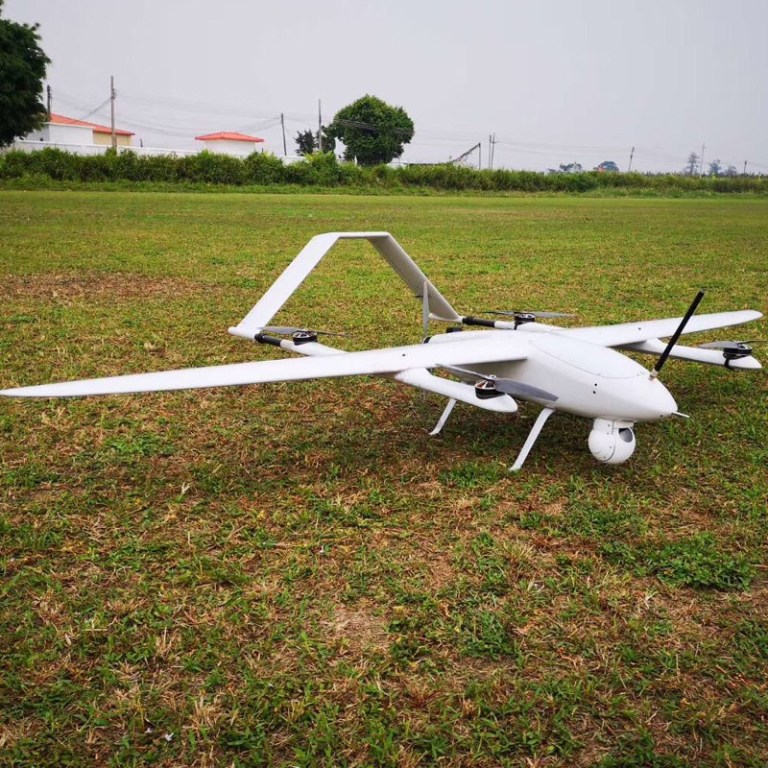
VTOL fixed-wing drone assists geological team in aerial surveying Chinese Jiuzhaigou geological disaster point
Vertical take-off and landing(vtol) fixed-wing UAV assisted geological team in aerial survey Jiuzhaigou geological disaster
At 21:19:46 on August 8, 2017, a magnitude 7.0 earthquake occurred in Jiuzhaigou, China, resulting in damage to many scenic spots in the scenic area, large landslides in the mountains, and large geological hazards.
According to Sichuan online news, the scenic spot is still in the state of closed park and post-disaster recovery. The reporter also learned from the frontline staff that there are disaster points in the scenic area, and they are located in the original forest. It is difficult to enter by manual inspection, which makes the geological investigation work difficult.
In order to speed up the reconstruction of scenic spots and the investigation of hidden dangers, our company used the vertical take-off and landing(vtol) fixed-wing drones to assist the 402 Geology Team of the Sichuan Bureau of Geology and Mineral Resources to carry out aerial survey work.
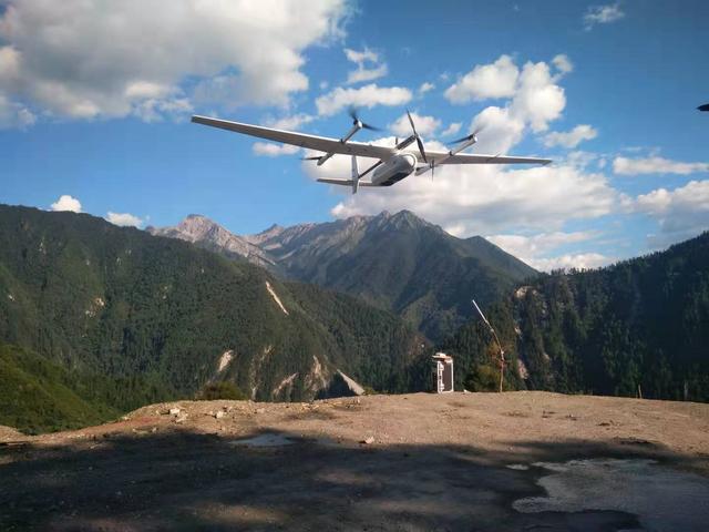
The vertical take-off and landing fixed-wing UAV is equipped with a professional aerial survey camera. It takes off and land in the Jianpanzhai area of Jiuzhaigou Scenic Area. It has a total of 3 flights and a working area of about 57 square kilometers. this VTOL drone us long rang transmitter, farthest operating radius is 21 kilometers.
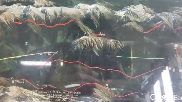
During the operation, the takeoff altitude is 2574 meters, and the altitude is 4740 meters. According to the heading overlap rate of 80%, the side overlap rate is 70%. At the same time, the aircraft climbed more than 2,000 meters with full oil, and a flight can still fly 130 kilometers, 90 minutes.
Great height difference, how to fly?
The operation area is located in the Jiuzhaigou Nature Reserve. The terrain is high in the south and low in the north. The valley is deep and the height difference is very different. The Jiuzhaigou mouth on the northern edge of the area is only 2000 meters above sea level, the central peak is more than 4,000 meters, and the southern margin is more than 4,500 meters. The geological background is complex. Most of them are unmanned areas with dense vegetation.
"The height difference in the survey area is 1300-1400 meters, and the plane needs to shuttle between the mountains." Li Gong, who is in charge of this operation, told the reporter that the difficulty of the whole task is high, and the requirements for flight technology and overall performance of the aircraft are required.
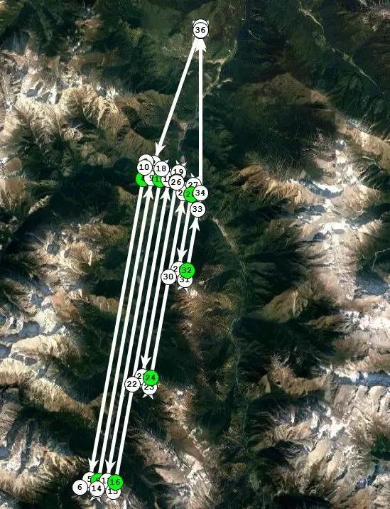 Unmanned aerial image interpretation
The staff of the geological team said, "Through the data obtained by the vertical take-off and landing fixed-wing UAVs, it is possible to find geological disaster points that are difficult to inspect by humans. It can promote the geological disaster risk prediction in the scenic spot and take preventive measures in advance."
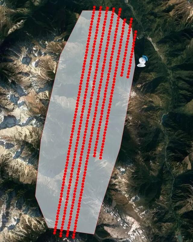
POS data after flight
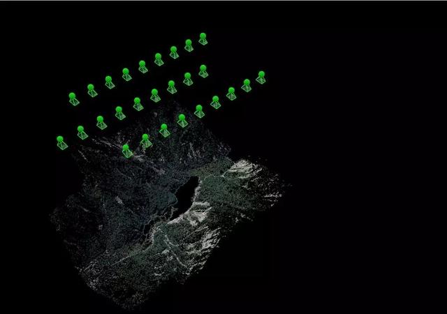
Triangulation measuring
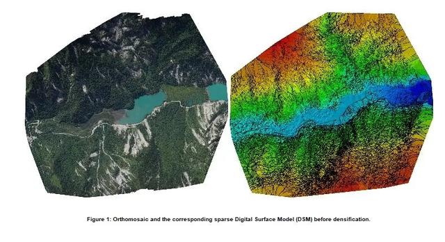
Measurement result
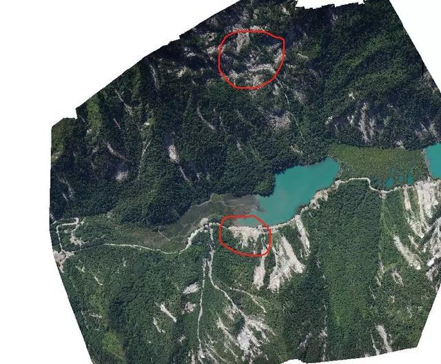
Zoom in on the area in the red box, as shown below:
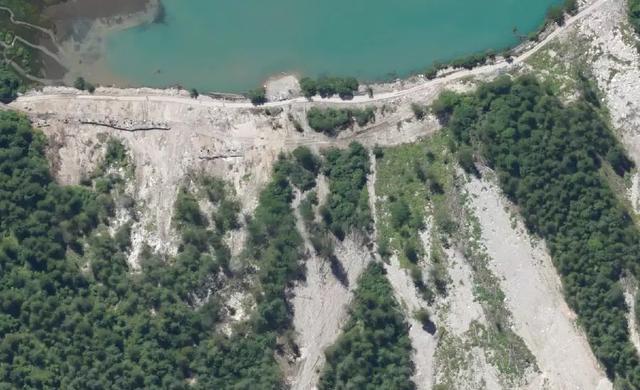
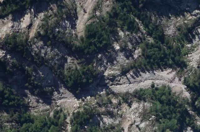
Optical interpretation is carried out in combination with the orthophoto of the drone: the white area in the red frame is a landslide, and there is still a certain disaster risk, which needs to be focused.
1.
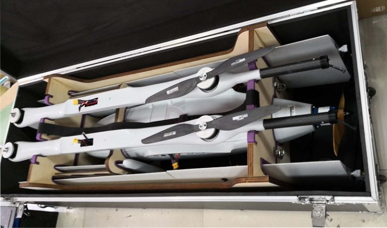
Not need run-way.
2.
Max payload 6-10kg (battery included).
3.
Flight time 2-8hours.
4.
Control distance3-100km.
5. Cruise speed 100-120Km/H
6. Flight altitude Maximum
4500m
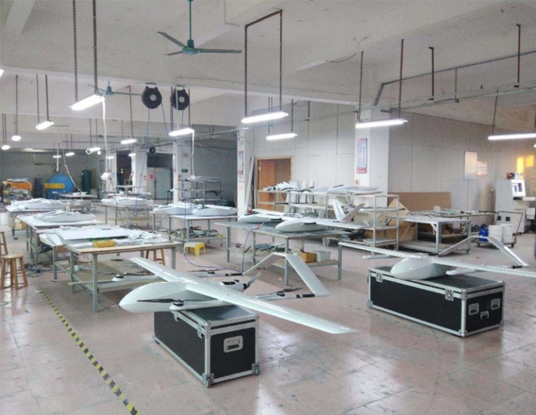
7. OEM/ODM is accepted
Used for Forestry monitor,
inspection, scouting,photogaphy, mapping
