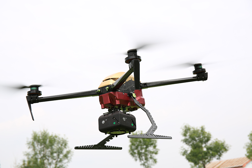
SimActive Inc., the world's leading developer of photogrammetry software, announced that the company's land surveying software Correlator3D has been officially launched and has been used in land development applications in Northern California in cooperation with the US surveying and mapping company Redefined Horizons.

SimActive is the developer of Correlator3D™ software, located in Montreal, Canada. The company focuses on research and development of end-to-end photogrammetry solutions. Correlator3D™ performs aerial triangulation (AT) and generates dense digital surface models (DSMs), digital terrain models (DTMs), point clouds, orthoprojections, 3D models and vectorized 3D features. Correlator3D™ is powered by GPU technology and multi-core CPUs to ensure unparalleled processing speeds to support rapid production of large datasets.
FDG30 Mako Shark 6 hours long endurance fixed-wing VTOL for survey & serveillance

 FDG815 quadcopter drone for small area mapping
Contact: Fly Dragon Drone Tech.
Email: frank at dronefromchina.com
Add: NO. 9 Dayu Road PiDu distric, ChengDu 611730, China