
Agriculture is the second largest commercial market for drones after construction, and contributes $32 billion worth of services to farmers, and Global Market Insights predicts the agricultural drone market size will pass $1 billion, and 200,000 units, by 2024. Plummeting costs of drone, camera and sensor technology and more sophisticated software are contributing greatly to the adoption level.
It's important to track and evaluate cattle and other types of livestock quickly and efficiently. Chetu's custom software allows farmers to observe pastures for feed and water levels, track livestock at night and watch for predators, and monitor the health and livelihood of individual livestock.
Through machine learning software, agricultural drones can adapt to terrain to navigate better, research and evaluate crops and livestock based on data and conditions, and make advanced judgment calls about where to spray and plant with little to no human intervention.
Use drone software platforms integrated with Normalized Difference Vegetation Index (NDVI) indicators for instantaneous crop health analyses. Farmers can also use digital imaging and aerial sensor technology to detect irrigation issues, soil variance, and crop infestation, and then upload their finding to a precision agriculture planning platform.
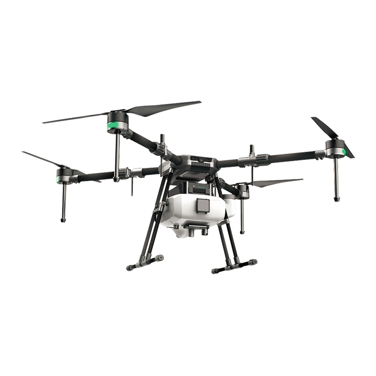
Our software configures drones and allows them to perform aerial spraying over a field: either fertilizer, pesticide or another regulation-approved liquid. This aerial spraying maximizes crop absorption compared to ground spraying, and lessens the effect of ground absorption.
Farmers and growers can use mechanical devices attaches to agricultural drones to sow seed pods in fields, working alongside a sensor network. Our software controls the distribution and placement of these seed pods, and interfaces the sensor network with the drones themselves through APIs.
Working alongside ground-based electromagnetic, optical and acoustic sensors, agricultural drones have 3D mapping capabilities that allow farmers to create an exact 3D replica of the crop. Our software can then analyze this 3D map in real time and generate detailed analytics of seed patterns and numerous other metrics.
Contact: Fly Dragon Drone Tech.
Email: frank at dronefromchina.com
Add: NO. 9 Dayu Road PiDu distric, ChengDu 611730, China