If precision agriculture technology has revolutionized the future of agriculture, eBee Ag provides farmers in using drone technology to make work safer and more efficient. eBee Ag simplifies the collection and analysis of geospatial data, allowing professionals in surveying, agriculture, engineering and humanitarian aid to make better decisions, faster. The eBee Ag price is priced $12,000+. This is the best drone you can get near you, in a price range accessible to everyone.
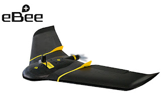
Farmers can use this fully autonomous drone to capture high-resolution aerial photos that can transform into accurate orthomosaics & 3D models.

The eBee Ag Drone sets the standard for easy flight planning and management thanks to its acclaimed eMotion software.
User just need to choose or create preferred background map. Then use this to define the region what you want to map. Next, simply specify your desired ground resolution (down to 1.5 cm / 0.6 inches per pixel) and set your required image overlap.
The rest is automatic: eMotion automatically generates a full flight plan, based on GPS waypoints, calculates the eBee Ag’s required altitude and displays its projected trajectory.
To ensure the mission’s success, eMotion even offers a confidence-building simulation mode. This virtual flight simulates wind strength and direction, allowing you to make any flight plan enhancements needed before launch.

The total cost of the launch and operation of the Landsat 8 imaging satellite was estimated by Nasa to be in the region of $855m. A Cessna 172 airplane, a model regularly used for aerial imaging, will set you back roughly $300,000. A professional automated mapping drone like senseFly’s eBee ag RTK price is $25,000,
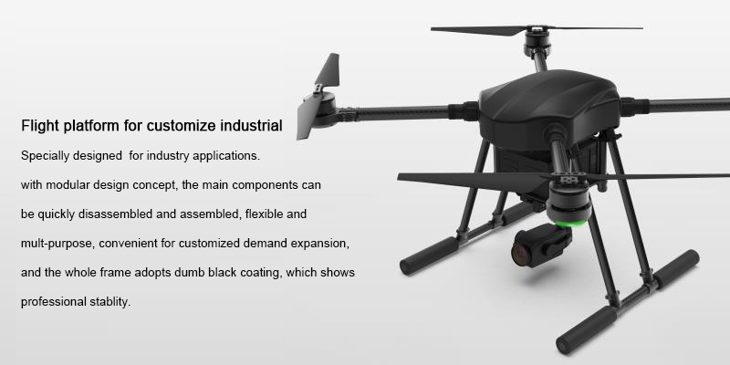
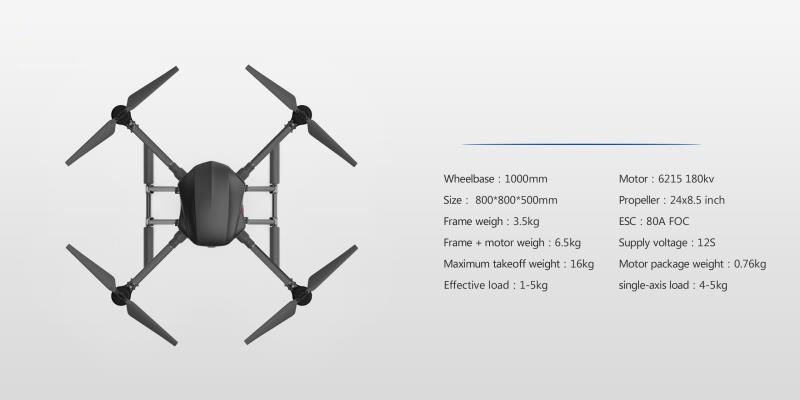
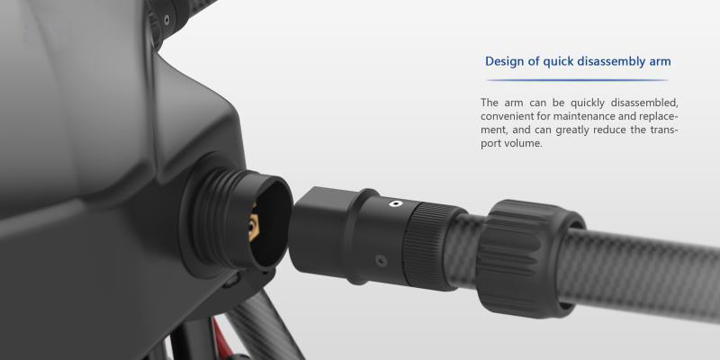
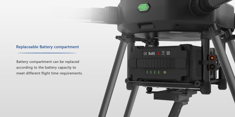
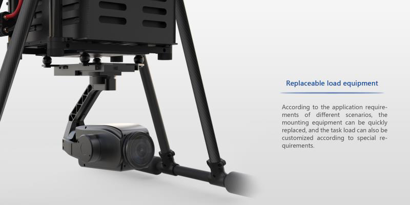
Flight platform for customize industrial Specially designed for industry applications. with modular design concept, the main components can be quickly disassembled and assembled, flexible and multi-purpose, convenient for customized demand expansion, and the whole frame adopts dumb black coating, which shows processional stability.
Contact: Fly Dragon Drone Tech.
Email: frank at dronefromchina.com
Add: NO. 9 Dayu Road PiDu distric, ChengDu 611730, China