News

Drone surveying and mapping for power engineering site selection


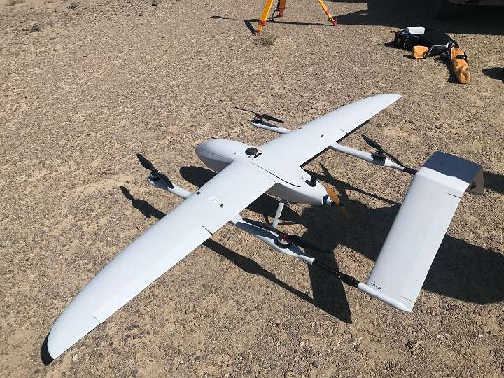
On December 20th, Gansu Jiuquan Power Supply Company organized designers to use drone surveying and mapping technology to efficiently complete site selection and survey work for the Alteng Power Transmission and Transformation Project in Jiuquan, Gansu, laying a solid foundation for the next engineering feasibility study Base.


In recent years, Aksai County has vigorously implemented industrial structure adjustments. With the help of Dunge Railway, Dundang Expressway, 215 National Highway and other road and railway networks, it has comprehensively planned and deployed new energy comprehensive development and utilization and logistics distribution in the Gobi 40 miles south of Dangjin Mountain. project. The State Grid Jiuquan Power Supply Company actively promotes the construction of the power grid in accordance with local power demand and the "14th Five-Year Plan" power grid plan, and plans to construct the 110 kV power transmission and transformation project in Aksai Al Teng, Jiuquan, Gansu, to help local economic development.

In the process of project site selection, designers used drone survey technology to accurately survey the path of power transmission and transformation lines. UAVs are based on oblique imaging technology, which can measure any point, line and surface, and obtain measurement accuracy from centimeters to decimeters. Through real-time surveys, they can accurately measure topography and provide high-precision and high-resolution image data. Through field collection of terrain information, data conversion, equipment modeling, establishment of three-dimensional design models, visual observation of substation site, line direction, and tower distribution, digital design effectively reduces manual measurement deviation and improves work efficiency and survey accuracy.

The company promotes the efficient development of electric power design work with technological innovation, and uses drone survey technology to further optimize and improve the level of survey technology, boost survey design with high efficiency and high precision, and power surveying and mapping automation and intelligence

Baby shark drone surveying and mapping  for Power engineering site selection

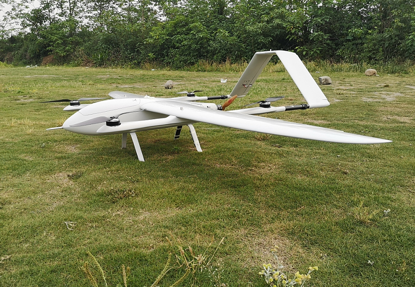
Baby shark vtol is developed by drone manufature FlyDragon UAV company, it's a small vertical take-off and landing (VTOL) drone, Small shark is made of composite materials, which features high strength and light weight. The space is big enough to hold a flight controller, batteries or other devices.

Specifications:

Wingspan: 2.5m
Frame Weight: 2.68kg
Fuselage:Composites
Total Weight: 5.5kg(without battery)
Max Take-off Weight: 12kg
Max Payload: 6.5kg(including battery)
Max Flight Time: 2.5 hours
Max Speed: 100km/h