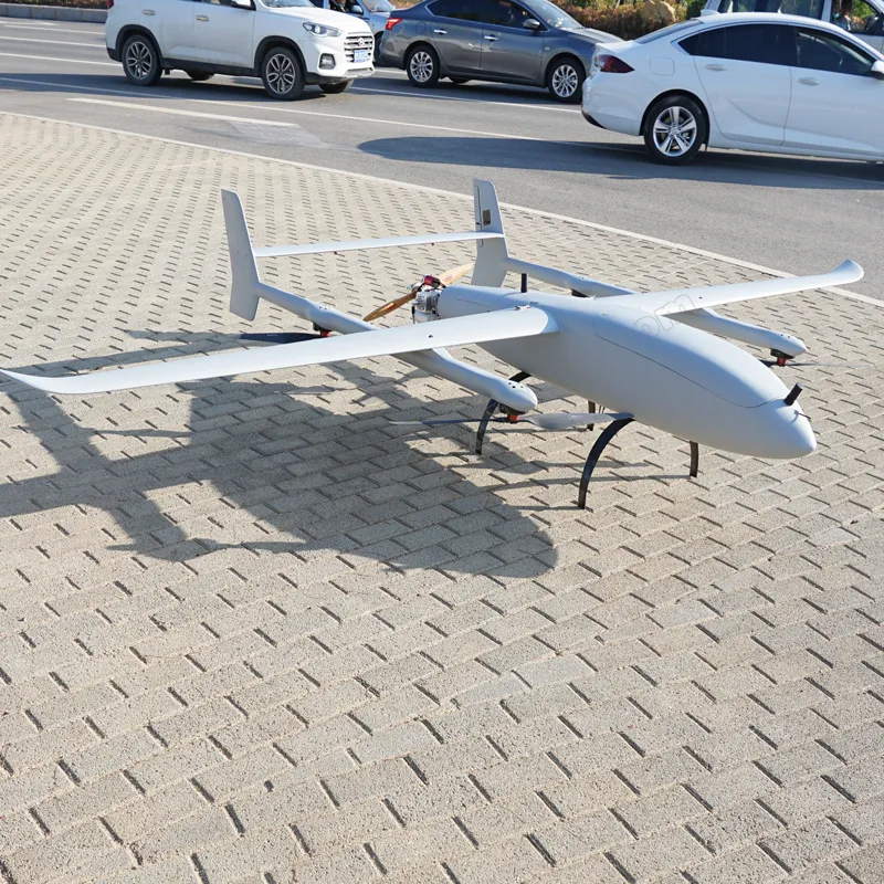
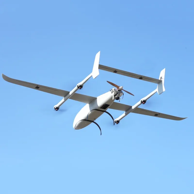
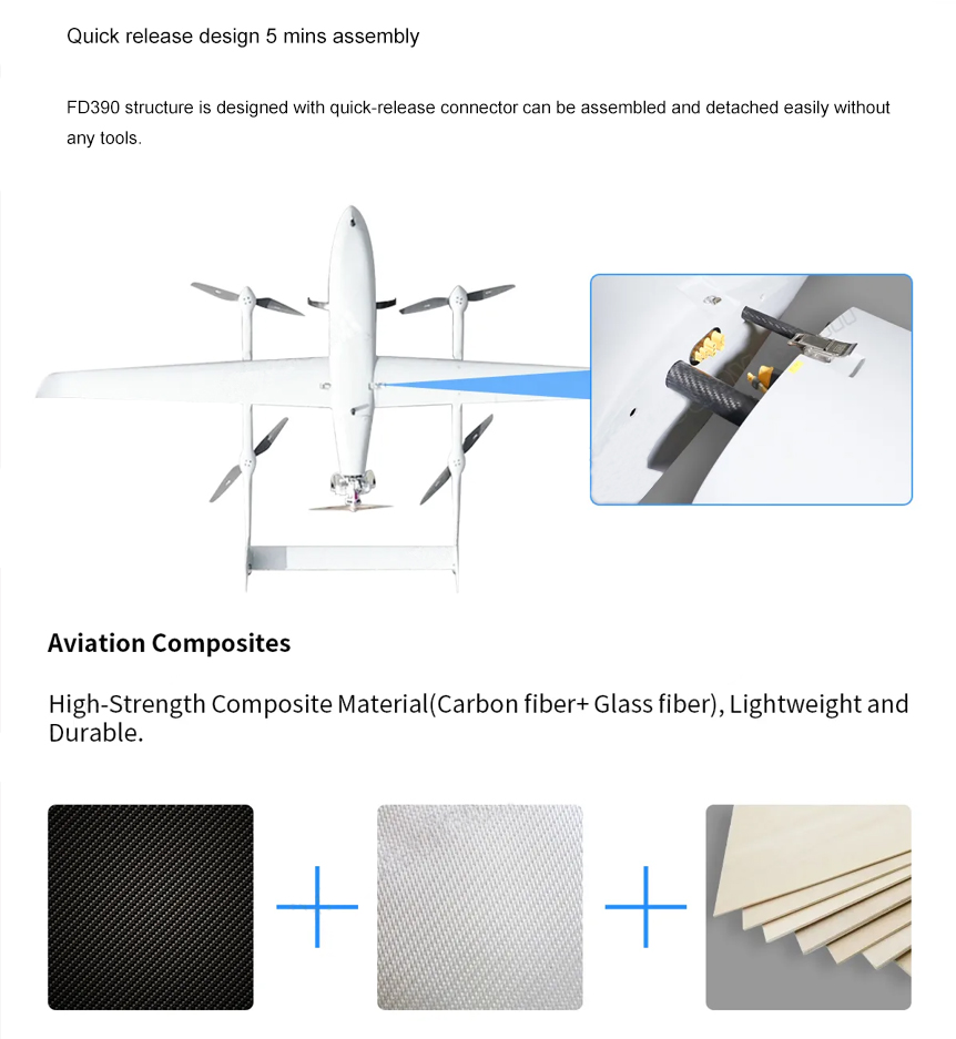
FD390 VTOL UAV is good for mapping and surveillance it’s adopts a conventional 4+1 layout and does not require a runway for take-off and landing, which can ensure that it can operate smoothly in mountainous areas, hills and other complex terrain areas, greatly expanding the application range of the flight platform, and is an good choice for industrial-grade UAVs.
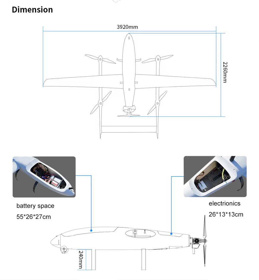
Length:2360mm
Height:700mm
Wingspan:3920mm
Material:Aviation carbon fiber composites
Payload weight(including gasoline): 10-20 kg
Max. takeoff weight:35kg
Level speed:21-40m/s
Cruising speed:25m/s
Endurance time: 10h/3kg
Fuel consumption:VTOL 1L/h, fixed-wing 0.95L/h
Max.range: 900 km@3kg(VTOL), 947 km@11kg(fixed-wing)
Altitude limited:3500m
Operation Temperature:-20°C-45°C
Wind resistance:take-off level 5/ cruising level 6
Packing size:2250*680*600mm
Protection IP:IPX4


Contact: Fly Dragon Drone Tech.
Email: frank at dronefromchina.com
Add: NO. 9 Dayu Road PiDu distric, ChengDu 611730, China